
By Juan J. Cancel, Chief Data Analyst and Quenton Cypress, Community Engagement Coordinator
If this you are reading this, you’re welcome! You should be excited to read our companion piece to our upcoming exhibit “Are We There Yet: Engaging the Tribal Youth with Story Maps” and learn more about the really cool project the Tribal Historic Preservation Office (THPO) worked with in conjunction with the Ahfachkee School’s 11th grade students. The Archaeometry Section, which focuses on mapping and technology, created a project that teaches high schoolers about utilizing online mapping, images, photographs and written narrative to tell a story they feel is important to them. The students took on this task once a week during their Social Studies class throughout the 2018 spring semester. Many of the students learned research skills that will benefit them after high school.
We were always prepared to teach students something new during the class whether it was utilizing online mapping software (ArcGIS Online developed by Esri), learning about map projections, creating graphic organizers to consolidate their thoughts, helping them figure out how to become better researchers, or showing them how their opinions and stories matter to others. It was not always easy preparing the 18 lesson plans for the students and some days we struggled making sure our message made sense or figuring out how to work around the state’s testing schedule. Yet, with all the challenges, the students were able to turnaround six completed Story Maps—each with a unique and different voice that will be co-authored by our team to make sure they are ready for installation in our Museum Exhibit opening later this month.
Once the class was finished, the Archaeometry team, comprised of Lacee, Quenton and myself, took our experience and turned it into a Story Map, as well. We took our Story Map all the way to San Diego!

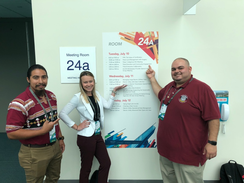
We presented our project, “Tell the Seminole Story: Utilizing Esri Story Maps to Engage Tribal Youth,” in front of other GIS professionals at the international 2018 Esri User Conference. In a room with about 60 GIS professionals, comprised of folks who work with Tribes and within the education field, who sat in and listened to us talk about our process—what we went through, what worked, and what didn’t work. The most impressive comment we received was from a lady who told us she felt inspired after hearing our talk and we felt honored to hear that our project would help her with her education work.

In the end, this project has taken us more than a year of preparations with days of grinding out the work to all come together to create an exhibit that we can all be proud of. This is where we thank you for taking the time to read this and we hope you come visit the Ah-Tah-Thi-Ki Museum and check out the students’ Story Maps that will be up from August 27th to January 8th of next year.
Be sure to check out our Story Map here!
